 Kenneth.Wong@fox.com (Kenneth Wong)

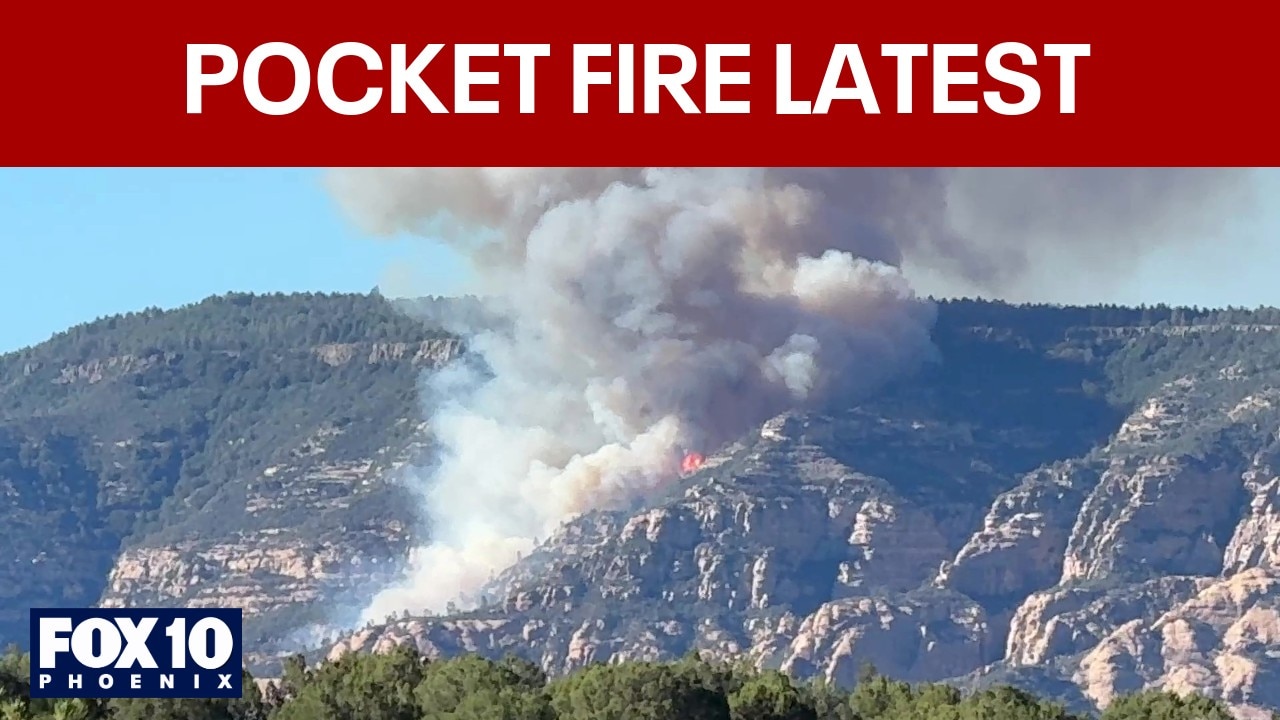
COCONINO COUNTY, Ariz. – A wildfire burning near Sedona has resulted in evacuation orders and highway closures.
What we know:
According to the U.S. Forest Service, the Pocket Fire has burned 500 acres of land about seven miles north of Sedona. The fire was first reported at around 5:00 p.m. on June 19.
USFS officials said visitors in the Oak Creek Canyon area, as well as visitors to End/Edge of the World are asked to evacuate.
“Travel down Woody Mountain Road (Forest Road 231) is not advised at this time,” read a portion of the statement.
On social media, officials with the Coconino National Forest said State Route 89A is closed between Fort Tuthill and the north end of Sedona.
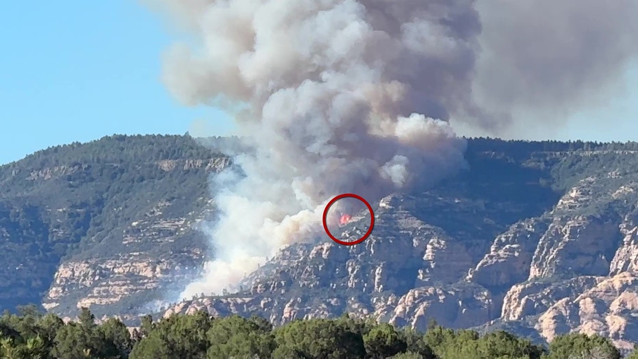
(Courtesy: Klaasjan Tukker)
What they’re saying:
“Resources assigned to the fire include two Hotshot crews, one dozer, five engines and miscellaneous overhead, with more en route,” read a portion of USFS’s statement.
Local perspective:
Red Cross Arizona officials say an evacuation center has been set up at Red Rock Jr. High School.
Where the evacuation center is located
The Source: Information for this article was gathered from the United States Forest Service’s website.
Source link
Kenneth.Wong@fox.com (Kenneth Wong) Pocket Fire: GO order issued for Oak Creek Canyon area www.fox10phoenix.com
Latest News | FOX 10 2026-06-20 04:33:27
+



GIPHY App Key not set. Please check settings